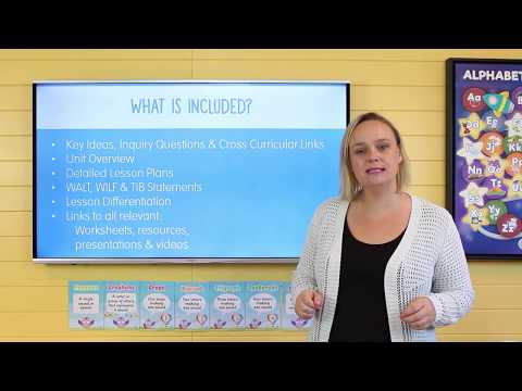
Students will be introduced to their new unit and learn about the features of the world map.
Pose questions about past and present objects, people, places and events
Collect data and information from observations and identify information and data from sources provided
Explore a point of view
Draw simple conclusions based on discussions, observations and information displayed in pictures and texts and on maps
Present narratives, information and findings in oral, graphic and written forms using simple terms to denote the passing of time and to describe direction and location
The way the world is represented in geographic divisions and the location of Australia in relation to these divisions
The idea that places are parts of Earth’s surface that have been named by people, and how places can be defined at a variety of scales
Interpret data and information to draw conclusions and describe the direction and location of places, using terms such as north, south, opposite, near, far
Representation of the location of places and their features on maps and models, including a globe, and the location of the major geographical divisions of the world in relation to Australia
Definition of places as parts of the Earth’s surface that have been given meaning by people, and how places can be defined at a variety of scales
Identify the content features of primary sources when describing the significance of people, places or events
Collect and record relevant geographical data and information from the field and secondary sources, using ethical protocols
Demonstrates skills of historical inquiry and communication
Describes features of places and the connections people have with places
Communicates geographical information and uses geographical tools for inquiry
The WALT, WILF & TIB posters were created by request and consist of 14 pages including: WALT - We are learning to... WILF - What I'm...
This set of blank word wall cards allows you to add vocabulary to your word wall as the need arises. Create your own customised word wall ba...
Immerse students in a rich exploration of personal and cultural identity with this thought-provoking presentation.
This worksheet was designed to be used a an individual graphic organiser for students to record what they already know about a unit, what th...
Cut and paste of the seven continents – with boxes to insert labels.
Cut and paste of the seven continents – without boxes for labels.
Cut and paste of the seven continents – paste on top of labels already outlined on map.