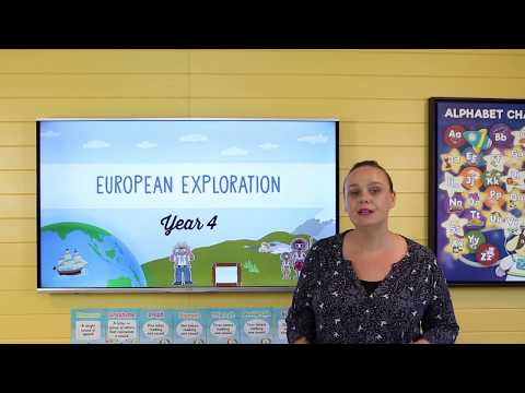
In this lesson, students are introduced to the unit inquiry questions. They discuss world exploration, why people chose to explore the world. Students plan a secret mission of exploration.
Pose questions to investigate people, events, places and issues
Locate and collect information and data from different sources, including observations
Record, sort and represent data and the location of places and their characteristics in different formats, including simple graphs, tables and maps, using discipline-appropriate conventions
Sequence information about people’s lives and events
Examine information to identify different points of view and distinguish facts from opinions
Draw simple conclusions based on analysis of information and data
Present ideas, findings and conclusions in texts and modes that incorporate digital and non-digital representations and discipline-specific terms
The diversity of Australia's first peoples and the long and continuous connection of Aboriginal and Torres Strait Islander Peoples to Country/Place (land, sea, waterways and skies)
The journey(s) of AT LEAST ONE world navigator, explorer or trader up to the late eighteenth century, including their contacts with other societies and any impacts
Stories of the First Fleet, including reasons for the journey, who travelled to Australia, and their experiences following arrival
The nature of contact between Aboriginal and Torres Strait Islander Peoples and others, for example, the Macassans and the Europeans, and the effects of these interactions on, for example, people and environments
Collect and record relevant geographical data and information from the field and other sources
Represent data and the location of places and their characteristics by constructing tables and simple graphs and maps of appropriate scale that conform to cartographic conventions of border, scale, legend, title and north point
Interpret maps and other geographical data and information to develop identifications, descriptions, explanations and conclusions, using geographical terminology including simple grid references, compass direction and distance
Identify the origin and content features of primary sources when describing the significance of people, places and events
The significance of Country and Place to Aboriginal and Torres Strait Islander peoples who belong to a local area
The diversity and longevity of Australia’s first peoples and the significant ways Aboriginal and Torres Strait Islander peoples are connected to Country and Place (land, sea, waterways and skies) and the effects on their daily lives
The journey(s) of a significant world navigator, explorer or trader up to the late eighteenth century, including their contacts with and effects on other societies
Stories of the First Fleet, including causes and reasons for the journey, who travelled to Australia, and their experiences and perspectives following arrival
The nature of contact between Aboriginal and Torres Strait Islander peoples and others, for example, the Macassans and the Europeans, and the effects of these interactions
Describes and explains how significant individuals, groups and events contributed to changes in the local community over time
Describes people, events and actions related to world exploration and its effects
Describes and explains effects of British colonisation in Australia
Applies skills of historical inquiry and communication
Acquires and communicates geographical information using geographical tools for inquiry
The WALT, WILF, WAGOLL & TIB posters were created to support our Popart classroom theme and include: WALT - We are learning to... WI...
This poster was designed to be used a an individual or whole class graphic organiser for students to record what they already know about a u...
This resource was designed to record students wonderings about a unit of work. That is, what questions would they like answered, and what do...
The Wonder Wall display header has been developed to be used as a word wall display to introduce vocabulary associated with various units of...
This banner has been designed to feature along your classroom Word Wall.
This set of blank word wall cards allows you to add vocabulary to your word wall as the need arises. Create your own customised word wall ba...
This presentation has been created to support you throughout the Year 4 HASS History Unit - European Exploration. Simply work through thi...
This worksheet was designed to be used a an individual graphic organiser for students to record what they already know about a unit, what th...
Students are required to imagine space travel to Mars and document everything they see along the way. This forms part of the Year 4 HASS...